


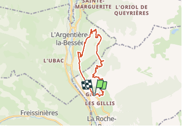

14.7 km | 26 km-effort

User


FREE GPS app for hiking
 SityTrail
IGN / Geographical institutes
SityTrail World
The world is yours!
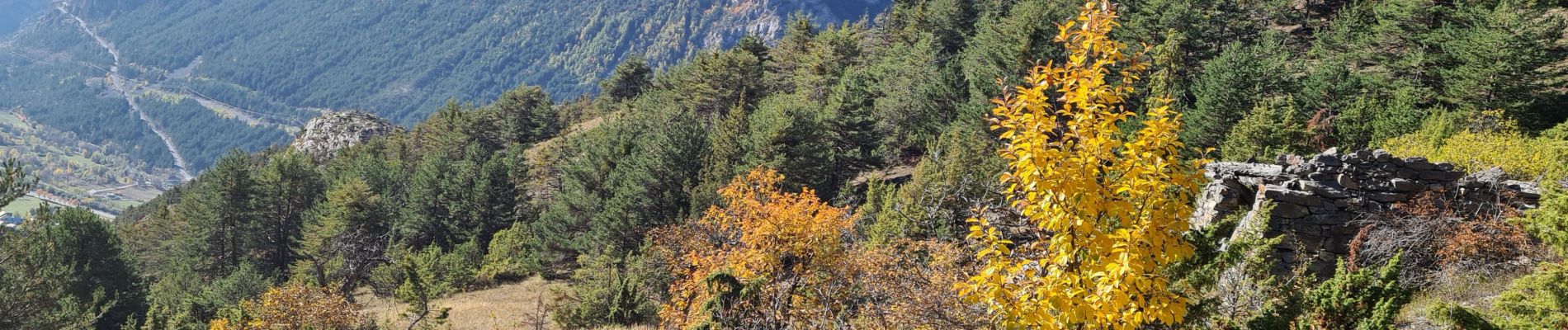
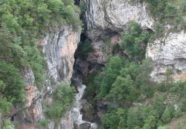
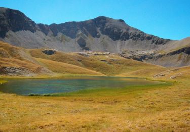
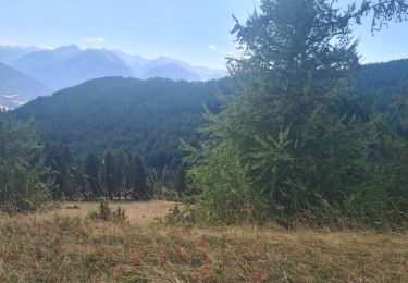
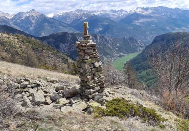
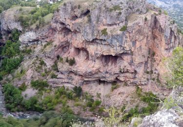
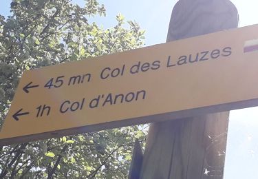
Trail Walking of 13.7 km to be discovered at Provence-Alpes-Côte d'Azur, Hautes-Alpes, La Roche-de-Rame. This trail is proposed by tchoua.
attention ⚠️itinéraire pouvant être dangereux après la cabane le sentier longe des falaises puis descend dans une pente raide ou on passe au dessus des barres rocheuses (nepas tomber) et rejoint un goulet pas facile car raviné ,personnes sujettes au vide et n ayant pas pied montagne s abstenir chaussures semelle rigide préférable


Walking
Walking

Walking
Walking
Mountain bike
Walking
Walking
Walking

Walking